How Maps Evolved
Maps are more than drawings of landscapes. They reflect how societies understood distance, territory, trade routes, coastlines, and the shape of the known world. As knowledge expanded, cartographers developed new ways to represent information and correct earlier assumptions.
Ancient maps were often created for practical purposes such as administration, travel, agriculture, and military planning. Others reflected cultural ideas about geography and the relationship between known and unknown regions.
Early Mapping Traditions
Some early maps focused on relatively small areas rather than attempting to represent the entire world. Plans of settlements, agricultural land, waterways, and property boundaries could be highly practical even when they lacked modern geographic accuracy.
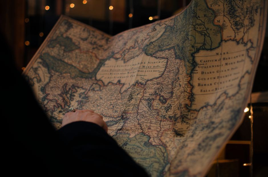
Ancient civilizations developed different conventions for recording geographic information. Clay tablets, carved surfaces, painted materials, and later manuscripts provided ways to preserve spatial knowledge.
The survival of these records allows researchers to examine how geographic understanding developed over time.
Measuring the Landscape
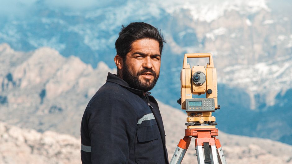
Surveying became increasingly important as societies required accurate boundaries, roads, construction sites, and land divisions. Basic geometric techniques allowed surveyors to calculate distances and angles using relatively simple instruments.
Later developments introduced devices designed specifically for measuring horizontal and vertical angles. These instruments improved the accuracy of geographic observations and helped connect individual measurements into larger maps.
Surveying also provided information that could be compared with earlier maps, revealing errors and changes in geographic interpretation.
Representing the Earth
Representing a curved planet on a flat surface creates an unavoidable challenge. Map projections provide different mathematical solutions, each preserving certain properties while distorting others.
Some projections prioritize direction, others area, distance, or shape. The choice of projection therefore depends on the intended purpose of the map.
Understanding this principle helps explain why two maps of the same region can look noticeably different while both being technically useful.
Expanding Geographic Knowledge
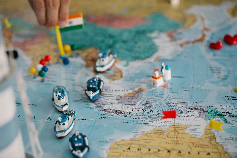
Exploration gradually introduced new coastlines, islands, rivers, and trade routes into European, Asian, African, and Middle Eastern geographic traditions. Mariners contributed observations from voyages, while travelers and surveyors supplied information from inland regions.
Maps were repeatedly revised as new measurements became available. This made cartography an evolving discipline rather than a process of producing a single definitive representation.
Modern Cartography
Contemporary cartography combines geographic information systems, satellite imagery, digital surveying, aerial photography, and precise positioning technologies.
Modern maps can represent enormous quantities of information while allowing users to change scale, layers, and geographic detail. Yet the fundamental purpose remains familiar: organizing spatial information so that relationships between places can be understood.
The evolution of cartography reveals how observation, measurement, exploration, and changing geographic ideas have gradually transformed the way societies visualize their world.