Source criticism
Scrutinising a map's origin, history, and cartographic context before further assessment

Cartographica's approach to map analysis is grounded in three informational frameworks: source criticism, comparative dating, and the interpretation of cartographic errors and biases. Source criticism examines a map's origins, authorship, and purpose. Comparative dating situates a map relative to others through stylistic and geographic features. Interpreting errors and biases helps identify influences that may shape representation. These methods are used to examine historical maps. They are offered as analytical tools, and their application depends on context, available evidence, and the specific map under study. No outcomes are guaranteed.
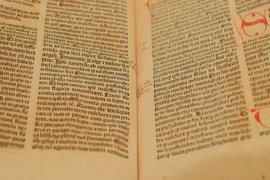
Scrutinising a map's origin, history, and cartographic context before further assessment
Placing stylistic, typographic, and geographical features side by side to approximate period
Reading distortions as deliberate choices or period-based limitations, not simple faults
Turning assessments into qualified contexts, with conclusions weighted by each method's inherent limits
At Cartographica, source criticism is embedded in our approach to examining historical maps. Because every map is shaped by its maker’s priorities, skills, and the limits of available knowledge, source criticism asks not only when a map was made but how, why, and within which contexts it circulated. This process involves comparing versions, evaluating inscriptions and marginalia, and interpreting apparent cartographic errors or biases as historical data rather than mere flaws. Used alongside comparative dating, it helps distinguish a map’s origins from later additions. What such contextual work can clarify remains conditional and dependent on incomplete evidence, outside professional assessment, and the specific questions brought to each document. Our role is to outline methods, not to substitute for direct archival judgment.

Comparative dating is a method used in map analysis that involves placing a map alongside other maps or historical sources to establish its chronological and contextual position. This approach relies on identifying shared features, such as place names, boundary lines, or drafting conventions, and noting where they diverge. Through such comparisons, researchers can suggest a map's place within broader cartographic traditions and trace connections to earlier or later works. The method does not produce definitive dates on its own; instead, it generates working hypotheses that depend on the availability, quality, and relevance of comparison materials. Interpretations also remain sensitive to the analytical framework and the historical context in which both the map and the comparative sources were produced. Consequently, comparative dating functions as one part of a wider process that incorporates source criticism and awareness of cartographic errors and biases.
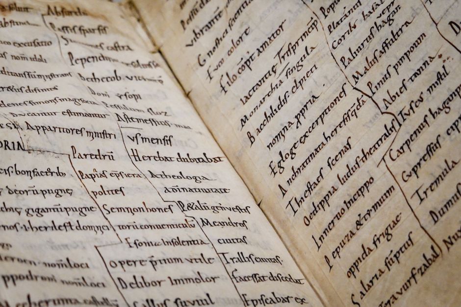
At Cartographica, our analytical framework treats cartographic errors and biases as informative features rather than mere flaws. These elements are examined alongside source criticism and comparative dating, using multiple contextual indicators to reconstruct plausible historical perspectives. The interpretation does not aim to produce definitive conclusions, as outcomes depend on available evidence and the specific conditions of each map. Instead, we document how such features contribute to understanding the mapmaker’s worldview, while remaining transparent about uncertainties. This approach recognises that maps reflect varied influences and that any interpretation is inherently conditional.