
Skip to content
🗺️ Cartographica
  • Home
  • Blog
  • About
  • Method
  • Contacts
Cartographica › Map Misconceptions
❓

Map Misconceptions

Common errors, myths, and false assumptions in historical maps, such as phantom islands, misplaced rivers, and legendary territories.

A detailed view of a world map with tiny model ships and flags indicating locations, highlighting global trade routes.
Map Misconceptions

Phantom Islands: Cartographic Errors That Persisted for Centuries

From Frisland to Sandy Island, phantom islands appeared on maps due to…
Read September 26, 2026
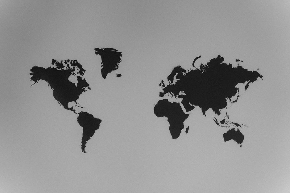
A simple black and white silhouette of a world map emphasizing continents against a stark background.
Map Misconceptions / Renaissance Maps

Mercator vs. Peters: The Politics of Map Projections

A comparison of two influential world map projections and their historical contexts,…

Read September 21, 2026

Subscribe for updates on mapping history

Receive new articles on historic maps, cartographic methods, and changing geographical ideas. Posts cover periods, techniques, and common errors in mapmaking.

Stay up to date with the latest news
🗺️ Cartographica
  • Home
  • Blog
  • About
  • Method
  • Contacts
Privacy Policy
© 2026 Cartographica. All rights reserved.
Terms of Use

We use cookies

We use cookies to ensure the proper functioning of the website, analyze traffic, and improve your experience. You can accept all cookies or reject them — the site will continue to operate. For more details, read our Cookie Policy.